Services
We are here to meet your needs in...
Aerial Photography
Using UAV technology, still images are recorded with a variety of geo-referenced data. Videography is available for most any action.

Geographic Information System
Maps are created using GIS software to visualize a wide variety of geo-reference information.
Wildlife Surveys
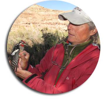
Specializing in avian field work to provide boots on the ground for your next bird survey project.

Graphic Design
Let Bird's Eye Vision create any of your marketing material to showcase your business.


